 EFEHR Risk Maps
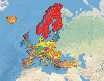
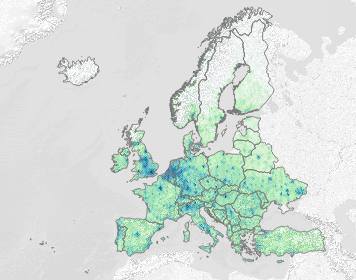
European Site Response Model Datasets Viewer
This viewer presents four key datasets that were used to develop the site response model used in the European Seismic Risk Model 2020 (ESRM20).
on Dec 12, 2021
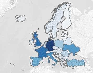
Interactive European Exposure Model Level 0 Viewer (ARCHIVED)
This map presents the geographical distribution of population, replacement cost of buildings, and total number of buildings (residential, commercial, industrial), and their distribution between lateral load resisting system construction material, within t…
on Nov 09, 2021
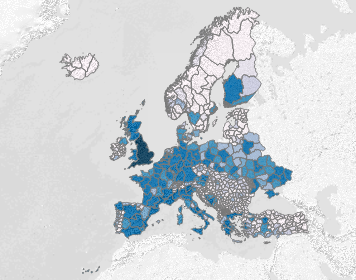
Interactive European Exposure Model Level 1 Viewer (ARCHIVED)
This map presents the geographical distribution of population, replacement cost of buildings, and total number of buildings (residential, commercial, industrial) within the European Exposure Model (v0.1)
on Nov 09, 2021