EFEHR Risk Maps
active filter: exposure

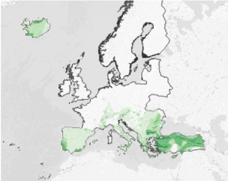
European Seismic Embodied Carbon Viewer
This map illustrates the geographical distribution of the total replacement embodied carbon of buildings (residential, commercial, industrial) within the GEM's European Exposure model v2023.1. The Average Annual Embodied Carbon (AAEC) is also shown as a m…
on Jan 27, 2025
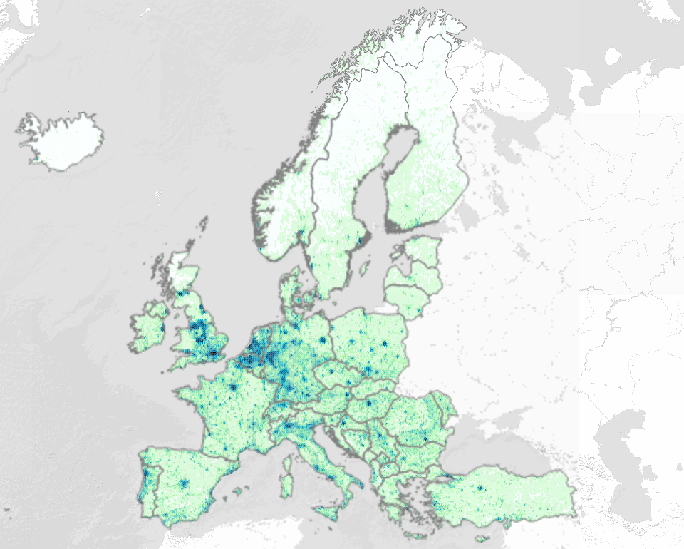
European Exposure Model Viewer - Gridded Data
This map shows the geographical distribution of population, total replacement cost of buildings, and total number of buildings (residential, commercial, industrial) within the European Exposure Model (v1.0).
on Jan 12, 2026
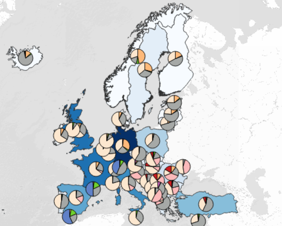
European Exposure Model Viewer - Country Level Data
This map presents the country-level distribution of population, total replacement cost of buildings, and total number of buildings (residential, commercial, industrial), and their distribution between lateral load resisting system construction material, w…
on Jan 12, 2026
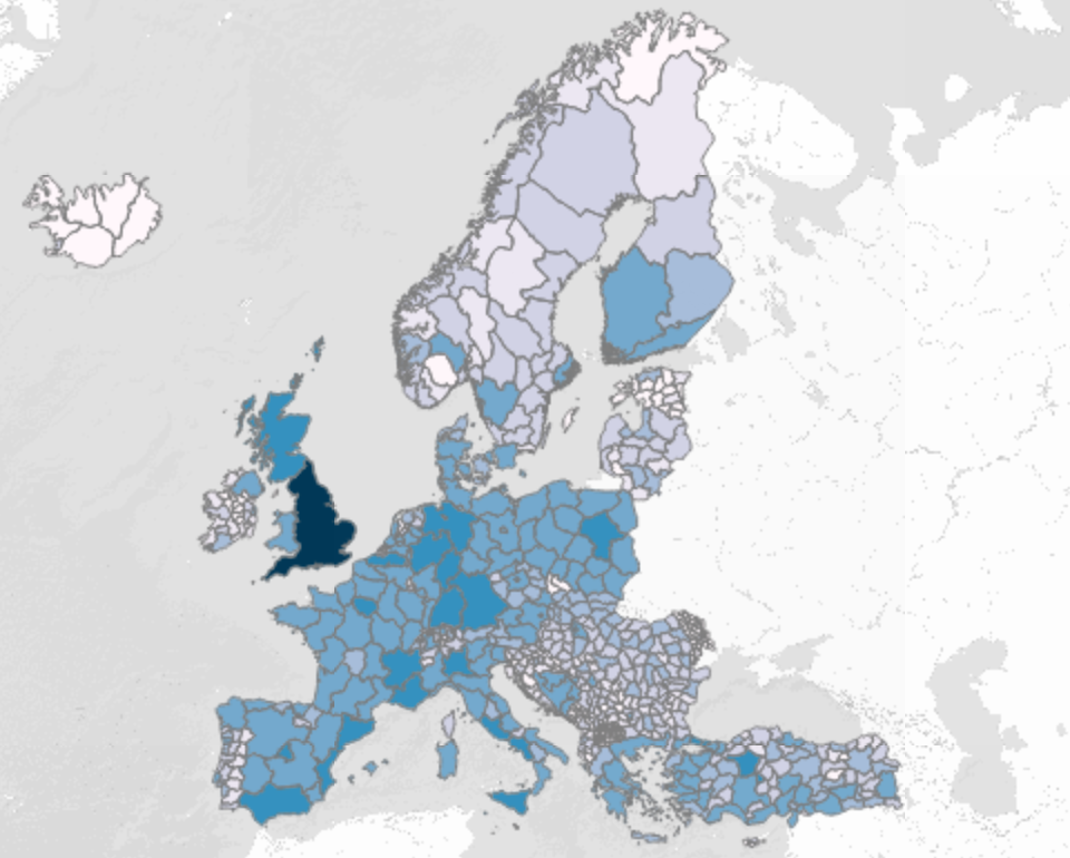
European Exposure Model Viewer - Admin 1 Level Data
This map presents the first administrative level distribution of population, total replacement cost of buildings, and total number of buildings (residential, commercial, industrial) within the European Exposure Model (v1.0)
on Jan 12, 2026